
Drone Surveying for a Golf Course Renovation
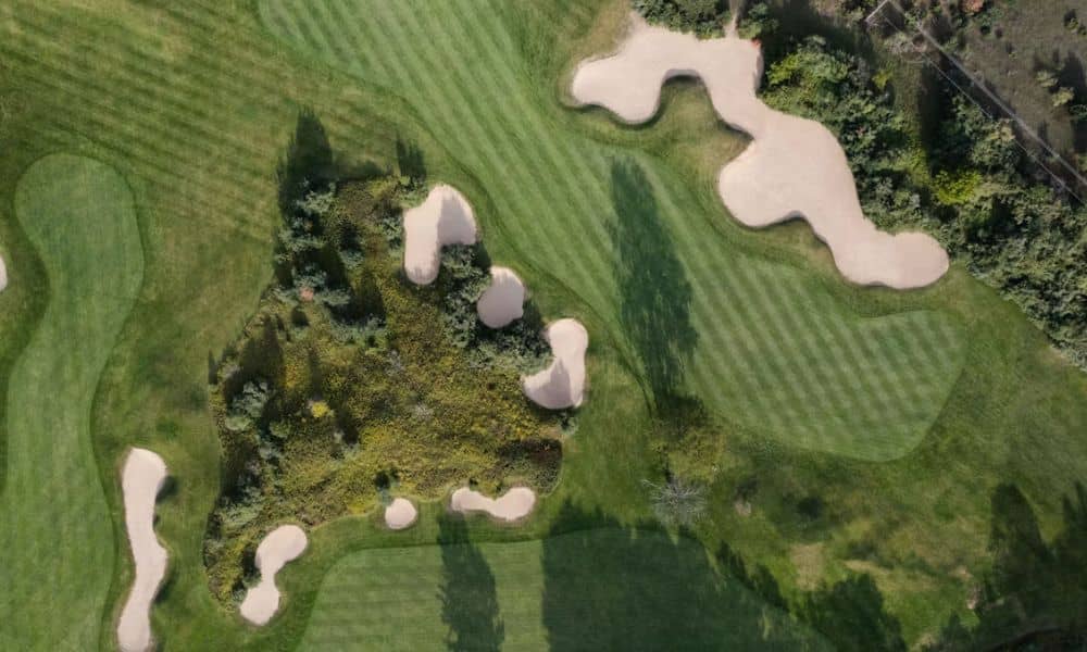
A golf course renovation starts long before the first cart path gets torn out. The design team needs a clear picture of the course as it sits today, and on a property this big, that picture covers a lot of ground. Drone surveying can capture much of it from the air, but the team has […]
Construction Survey for Building Column Layout
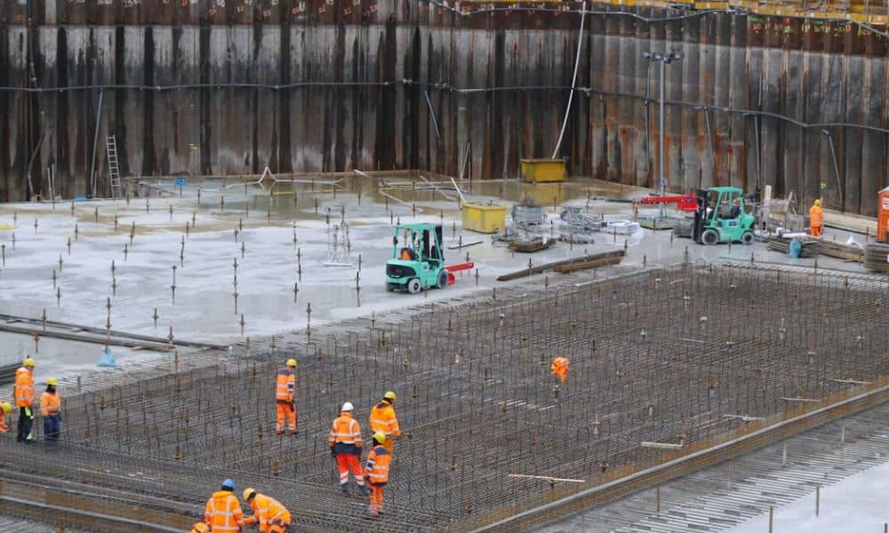
Concrete buries column footings and anchor bolts fast. Once the pour is done, a column that sits a few inches off the grid can mean cut bolts, reworked connections or steel that won’t fit. A construction survey helps contractors place each column where the structural drawings put it. It also lets them check that position […]
What Does an ALTA Title Survey Show About Air Rights?

A commercial property can come with more than the land under it. Some deals include space above the ground, like room over an alley, a parking deck or a lower building next door. An ALTA title survey can show where that space sits and how it relates to the parcel below. It can’t prove who […]